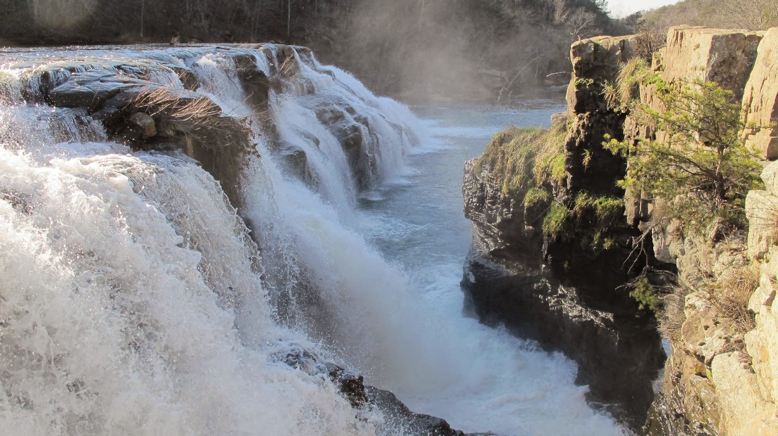
Alabama Waterfalls
Many of the most photographed waterfalls in Alabama reside within the borders of the Sipsey Wilderness Area, a rugged tract of wilderness in the northwestern part of the state that contains (literally) thousands of waterfalls. The library system has a couple of books that can help you navigate this area: Alabama Canyons is available for checkout by anyone with a valid library card, but you will have to visit the Southern History department in order to find additional information on the Sipsey Wilderness in books such as Walking Sipsey: The People, Places, and Wildlife or Indian Trails of the Warrior Mountains.
Also, if you are interested in spending a full day exploring some waterfalls around the state (with very little hiking required), the map below features an itinerary and directions for a road trip to six really great and easily accessible waterfalls around northeast Alabama. Its a 300 mile roundtrip drive from the Birmingham area, but a great way to spend a cold Saturday in January or February.
Also, if you are interested in spending a full day exploring some waterfalls around the state (with very little hiking required), the map below features an itinerary and directions for a road trip to six really great and easily accessible waterfalls around northeast Alabama. Its a 300 mile roundtrip drive from the Birmingham area, but a great way to spend a cold Saturday in January or February.
View Waterfall Tour Sand Mountain and Lookout Mountain Watersheds in a larger map

Comments